
About Pearland, Texas

Pearland Traffic Pearland Weather Pearland Crime Map Pearland Population Stats Pearland Police Pearland Photos
In the Beginning
In the beginning, Pearland, located on State Highway 35 in northern Brazoria County, was simply prairie land producing various fruits and vegetables for its residents (cantaloupes, corn, figs, pears and watermelons). The Pearland of today was shaped by the railroad, advertising campaigns and hurricanes...
The Railroad & Pearland
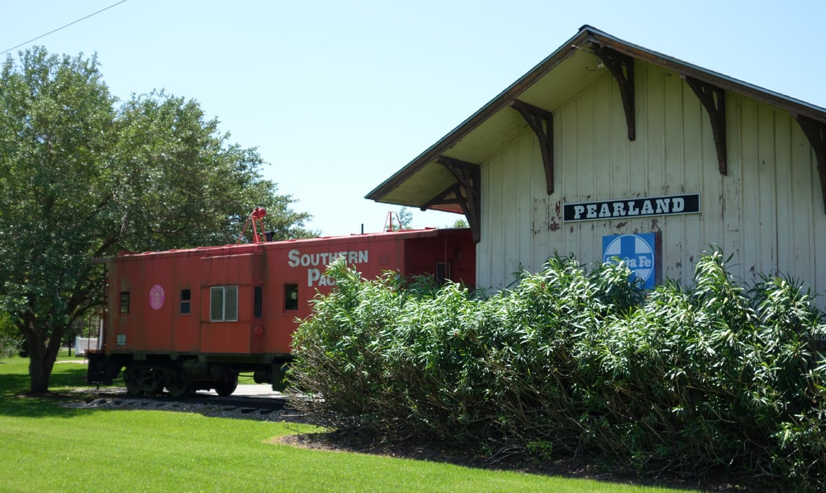
In 1882 the Gulf, Colorado and Santa Fe railroad companies decided to build a railroad from Houston to Galveston through the area that is now present-day Pearland. The railroad established a siding switch with small station for the railroad there, and the area quickly became known as Mark Belt, after nearby Landowner Mark Belt, who used his home as a post office to receive and sort mail headed for Galveston.
The Pearland Land Boom
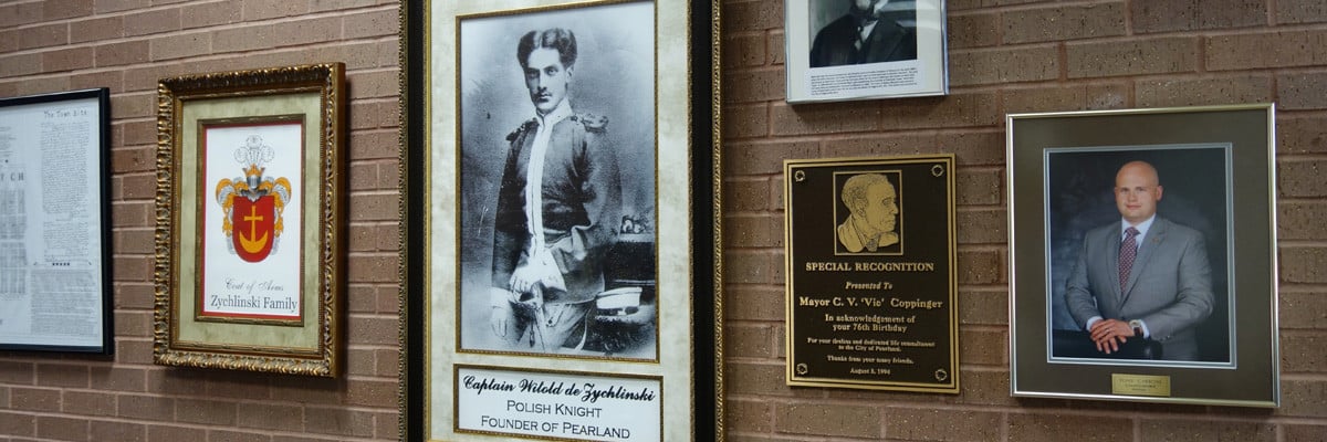
Ten years after the railroad’s decision to run through Mark Belt, Captain Witold von Zychlinski bought 2,560 acres of land surrounding Mark Belt. In May of 1894, Zychlinski filed a plat of the town site containing 40 blocks, designating streets, alleys, land belonging to the railroad and a county seat (Angleton). Von Zychlinski named the town site Pear Land (von Zychlinski filed it as two words) after the pear trees in the area. Ultimately the Southern Homestead Company was contracted to develop the area, and the company directed an advertising campaign at buyers from the Midwestern states, encouraging them to come to Texas and grow pears.
The railroad continue to encourage the area’s development: it brought settlers to the area, shipped harvests to the north, and was home to the “Bobby Train,†a combination freight/passenger train which carried people, groceries and other goods to and from Houston.
The Hurricanes
In 1900 a hurricane destroyed much of Pearland. Many people left the area, and in order to encourage new land owners to buy property, the Allison-Richey Land Company began an advertising campaign promoting Pearland as a “Suburban Garden†(the name of the first subdivision promoted) where oranges could be grown. After a freeze destroyed the orange crop, the company promoted the area for fig growing.
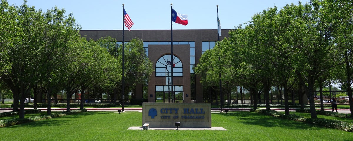
Pearland began growing again but in 1915 was hit by another hurricane. As in 1900, after the hurricane, people left Pearland. When rebuilding this time, focus was on modernization and infrastructure. In the late 1930s oil was discovered near Pearland and rice production was on the rise. In 1949 the city established the Brazoria County Water Control and Improvement District Number Three to generate funds for a water and sewer system. The city incorporated in 1959 and by 1960 had a mayor and city council.
Pearland Today: Growth
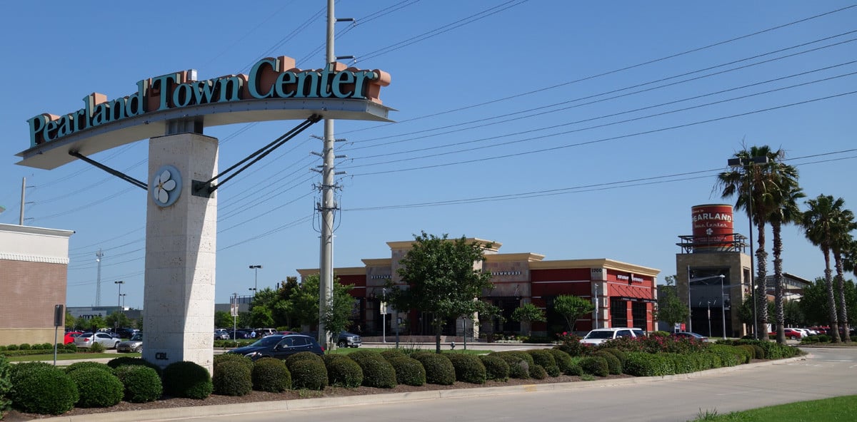
Pearland growth continued. In 1990 the population of Pearland was 18,697, and the city had expanded into Harris County. From 2000 to 2010, Pearland’s population grew by 142%, making it the 15th fastest growing city in the U.S. from 2000 to 2010 when compared to other cities with a population of 10,000 or greater. Pearland has been the third largest and fastest growing city in the Houston MSA since 2000, and the City of Pearland's population estimate for January 2017 was over 119,000 people, and the population within the ETJ is over 144,000 people. Read more about the Population of Pearland >>